![]()
Cheoah River
Graham County, North Carolina
Uploaded by Bivy Team
03 :24 hrs
9.6 mi
669 ft
IV
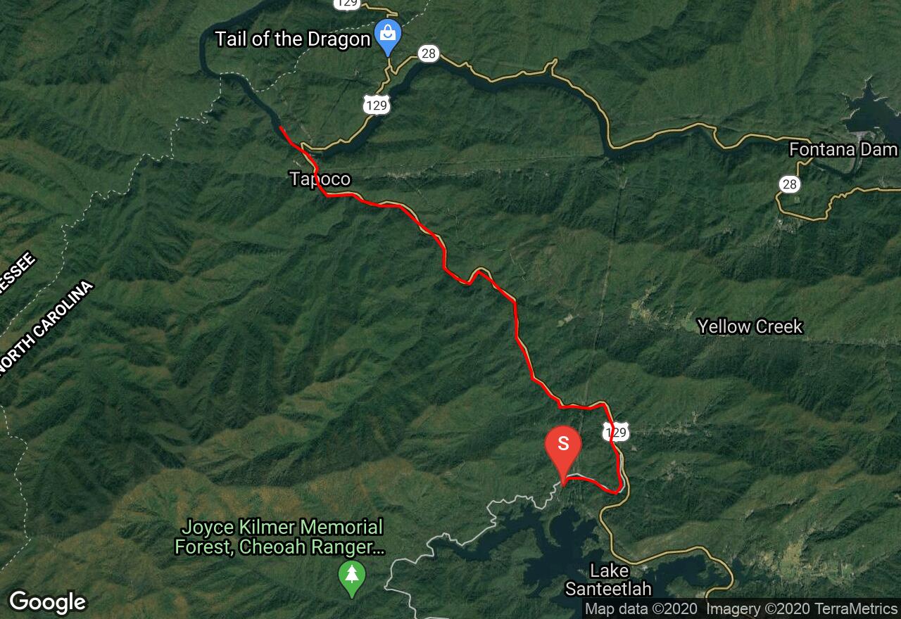
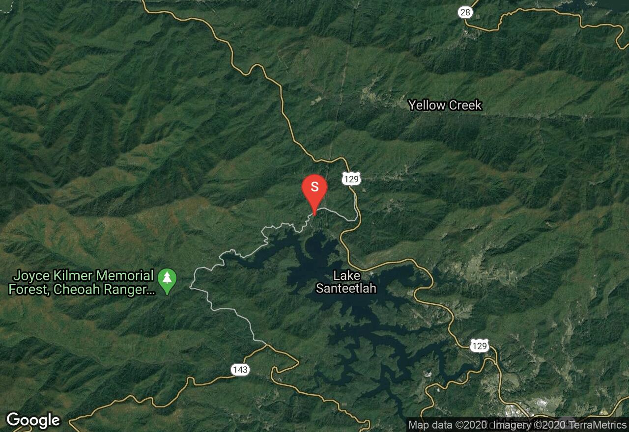
The Cheoah River, located in the southwestern corner of the state, runs between Santeetlah Dam and the Little Tennessee River. The river provides a challenging and enjoyable run when water is flowing . The river is usually dry but after extended rainfall it becomes an excellent option for intermediate and advanced paddlers. The first part of the run is best suited for intermediate paddlers with mostly class II-III rapids through boulder fields and over one ledge downstream from the overhead pipe. The second part of the run is more challenging with bigger rocks and higher ledges which can result in class V drops when water levels are high. There are alternate take-outs and put-ins along the way providing paddlers the option of only running the section that suits their abilities. Scouting the river through the second section is advised. The minimum level for the run is 4 feet and there is a gauge near Bearpen Gap on the bridge in the lower section.
2 photos
[{"url":"https://images.bivy.com/lgMap/5608053789425664.jpg"},{"url":"https://images.bivy.com/lgTrailMap/5608053789425664.jpg"}]
Cheoah River | Graham County, North Carolina
The Cheoah River, located in the southwestern corner of the state, runs between Santeetlah Dam and the Little Tennessee River. The river provides a challenging and enjoyable run when water is flowing . The river is usually dry but after extended rainfall it becomes an excellent option for intermediate and advanced paddlers. The first part of the run is best suited for intermediate paddlers with mostly class II-III rapids through boulder fields and over one ledge downstream from the overhead pipe. The second part of the run is more challenging with bigger rocks and higher ledges which can result in class V drops when water levels are high. There are alternate take-outs and put-ins along the way providing paddlers the option of only running the section that suits their abilities. Scouting the river through the second section is advised. The minimum level for the run is 4 feet and there is a gauge near Bearpen Gap on the bridge in the lower section.